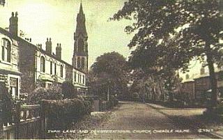
One of the oldest parts of this conservation area is Swann Lane which boasts many fine houses from the past three centuries, a Church, and a School. Unfortunately the church was burned down in 1977 and replaced by a modern building.
The open land of Hill Top farm in the centre of the 'old circuit' began to be developed around 1900 (following minor incursions by the railways in the 1840s). The wide boulevard of Hill Top Avenue was opened about 1906 to link Swann Lane and the rapidly developing Church Lane area. There were 4 'villa' residents in 1906, 35 in 1911, and it was almost complete in 1914. It is now one of the more prestigious parts of Cheadle Hulme with large detached and semi-detached residences boasting enormously long gardens. Much of it lies in the Conservation Area which presumably has protected it from Stockport Council's excesses of tarmac bumps and red road paint!
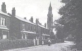
Swann Lane and the Congregational Church c1905 (S^)
Hill Top Farm about 1910 (E^).
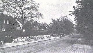
Hill Top Avenue in the 1930s (S^)
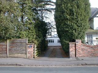
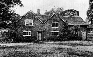
Hill Top Farm House, Hill Top Avenue (1999)
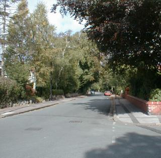
Hill Top Avenue 1999